
[ LIVE TRACKING DATA ]
>> I will continue to try and film it during its next several passes before re-entry.
SUBJECT: Orbital decay of Object 66629.
SUMMARY: Object is undergoing rapid, uncontrolled orbital decay following a significant propulsion anomaly recorded on December 17, 2025. Vantor WorldView-3 imagery confirms the structure is tumbling and intact.
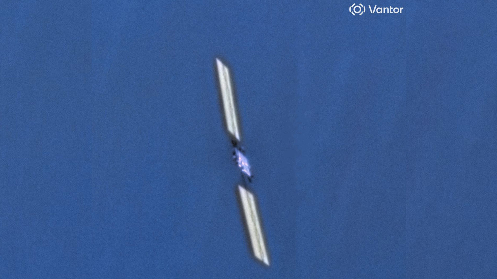
Telemetry indicates a venting event occurred within the propulsion tank assembly at 418km. This resulted in a total loss of attitude control. The object is currently tumbling uncontrolled. Reentry will result in total incineration.
Drag coefficients have increased significantly due to the tumbling motion. Visual magnitude will vary during passes over Canberra due to rotation.
